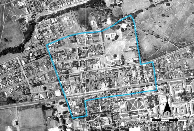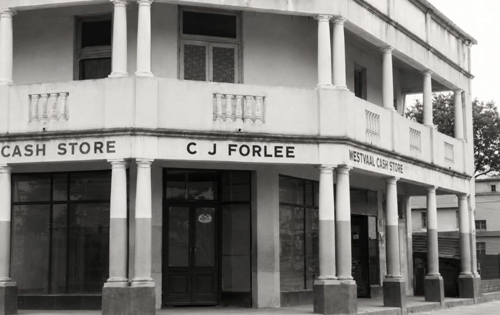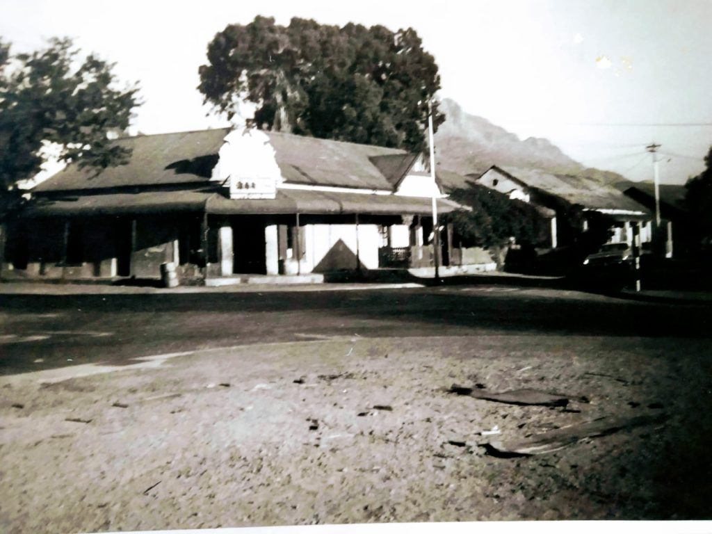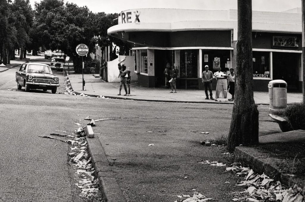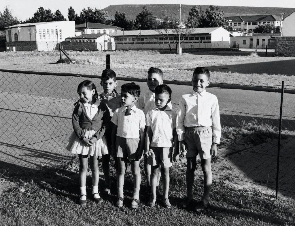
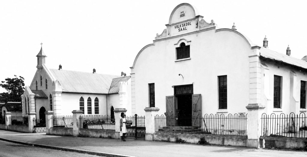
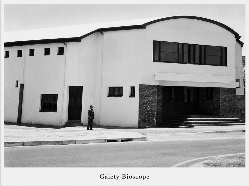
Mapping Die Vlakte is a digital public history project that documents the history of a community destroyed by apartheid. Beginning in 1969, 757 families, representing approximately 5,300 people, were forcibly removed from Die Vlakte in Stellenbosch. The Vlakte stretched from Bird Street in the west to Bosman Street in the East and from Merriman Avenue in the south to Muller Street in the north.
Through maps, photographs, oral histories, archival records, and research, the project preserves the memory of this community and ensures that its history remains accessible to present and future generations.